|
|
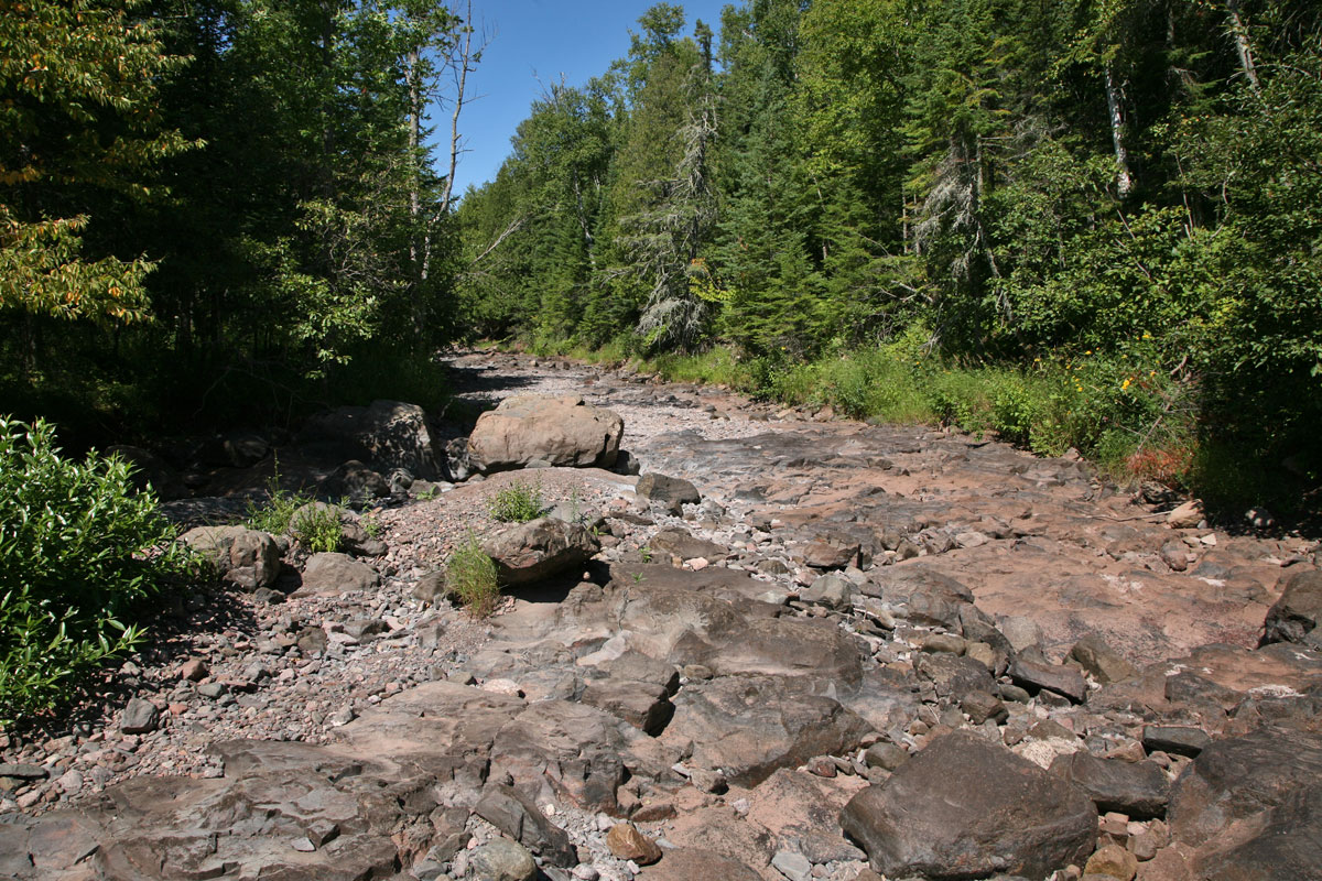
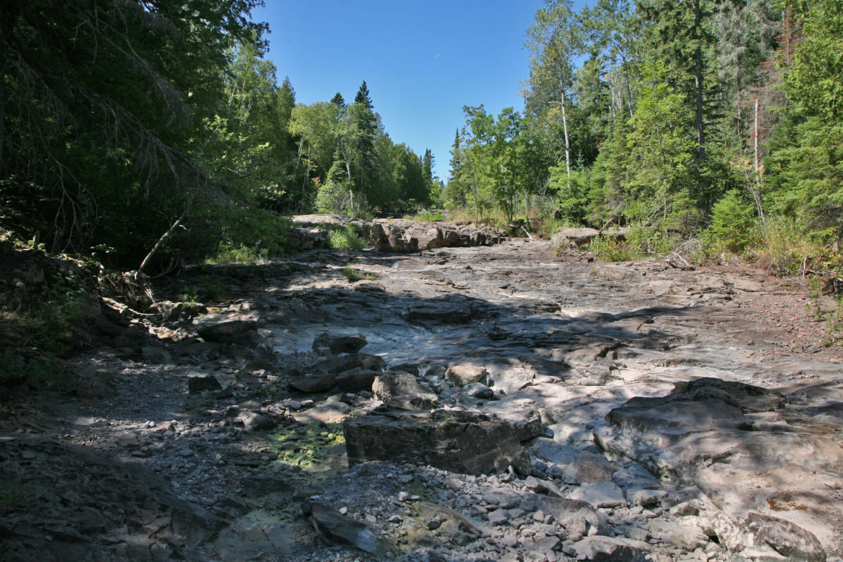
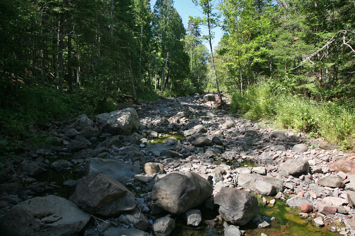
| Is this a Jeep Track or a river bed?! Look at a winter version of this same view from December, 2005, when I was on show shoes. |
Not a trickle of water in sight. I could drive my Honda up this section of the river! Look at a winter version of this same view from December, 2005. |
|
|
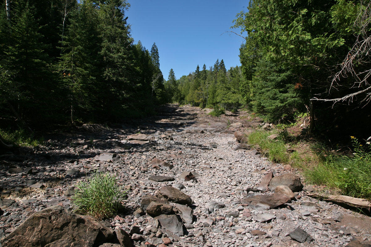
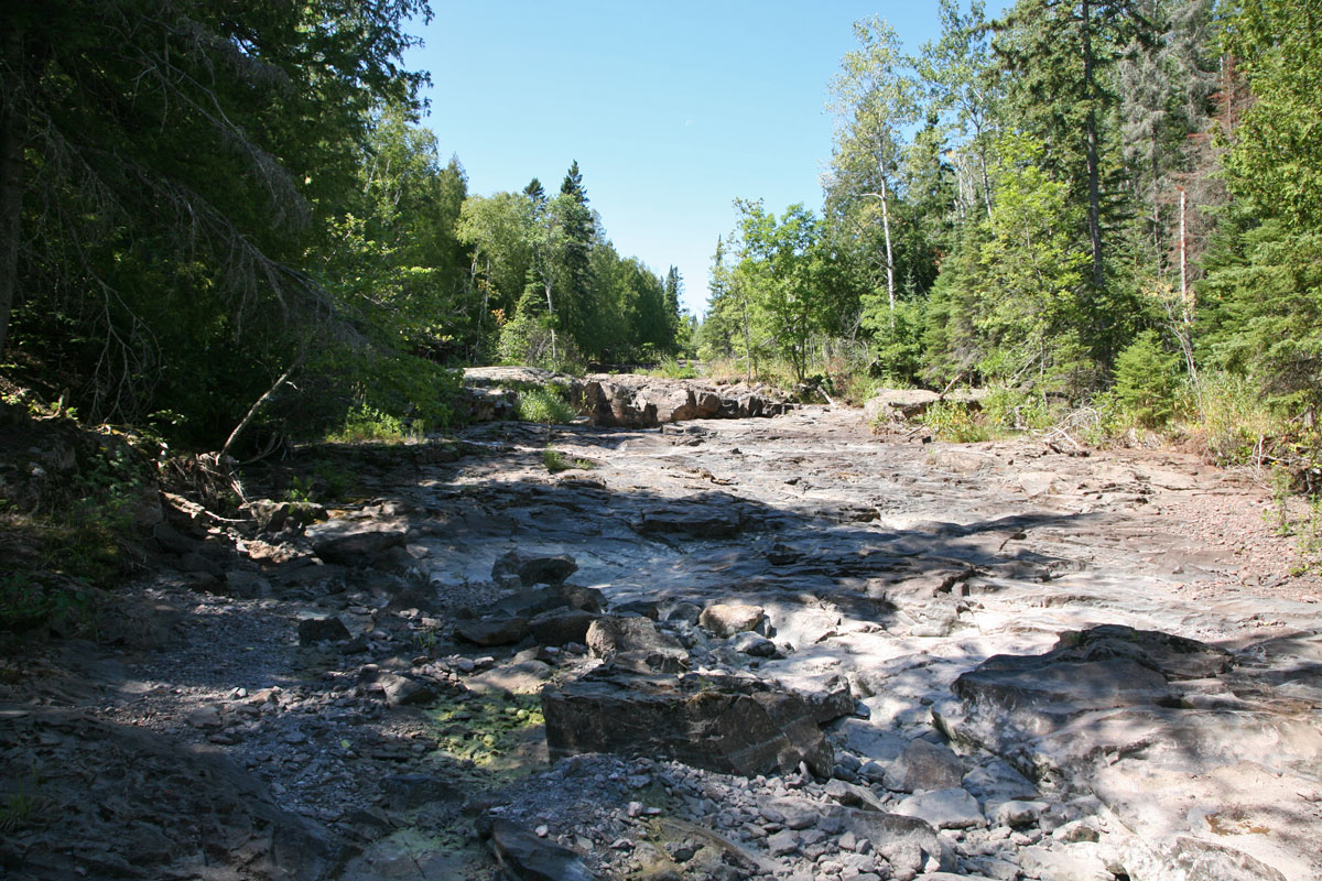
| Looking "upstream?" at the first main falls shelf ledge. Look at a winter version of this same view from December, 2005. |
Look at a winter version of this same view from December, 2005. |
|
|
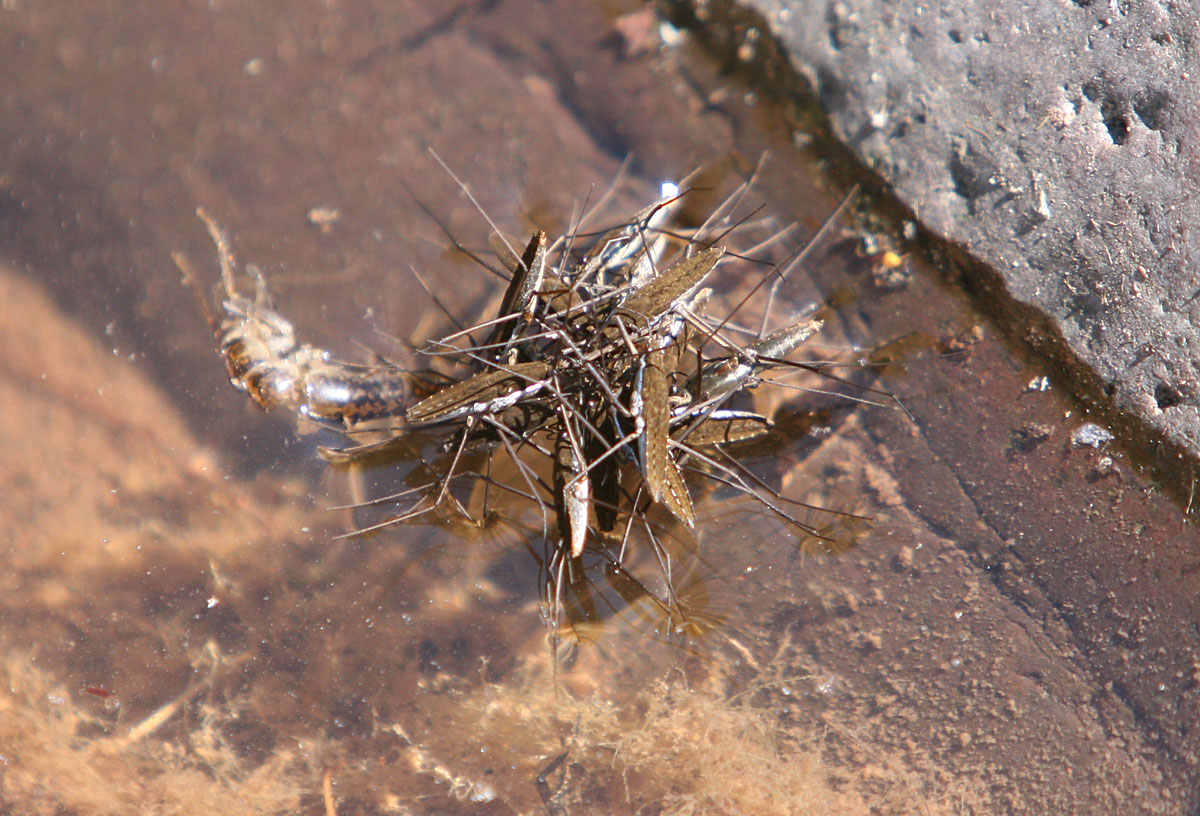
| At first I thought this was a "Water Spider Gangbang" of some sort, until I noticed they were doing a pile-on to eat some dead crustacean underneath them. Lunch! |
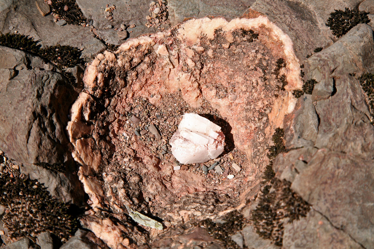
This was a mineral pocket that was halved away, and I have no idea if someone just placed this quartz piece inside of the crater or it was really there naturally. I suspect the former... |
|
|
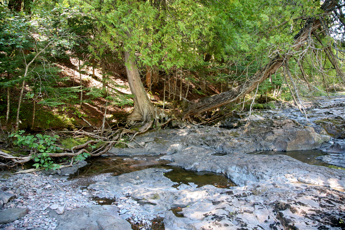
| Water! And cedars! There were little shaded areas that held some pockets of stagnant water. |
The shade is doing this big cedar well. Looks like it is living rather tough on the rocks, though. |
|
|
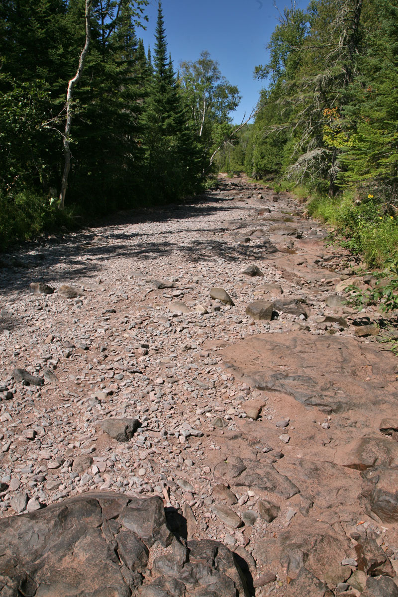
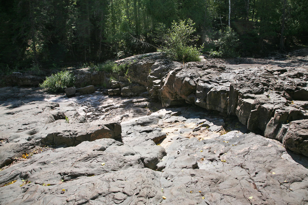
| First view looking up at the second falls shelf bank, and still no visible water running. |
Second view looking up at the second falls shelf bank, and still no water running. |
|
|
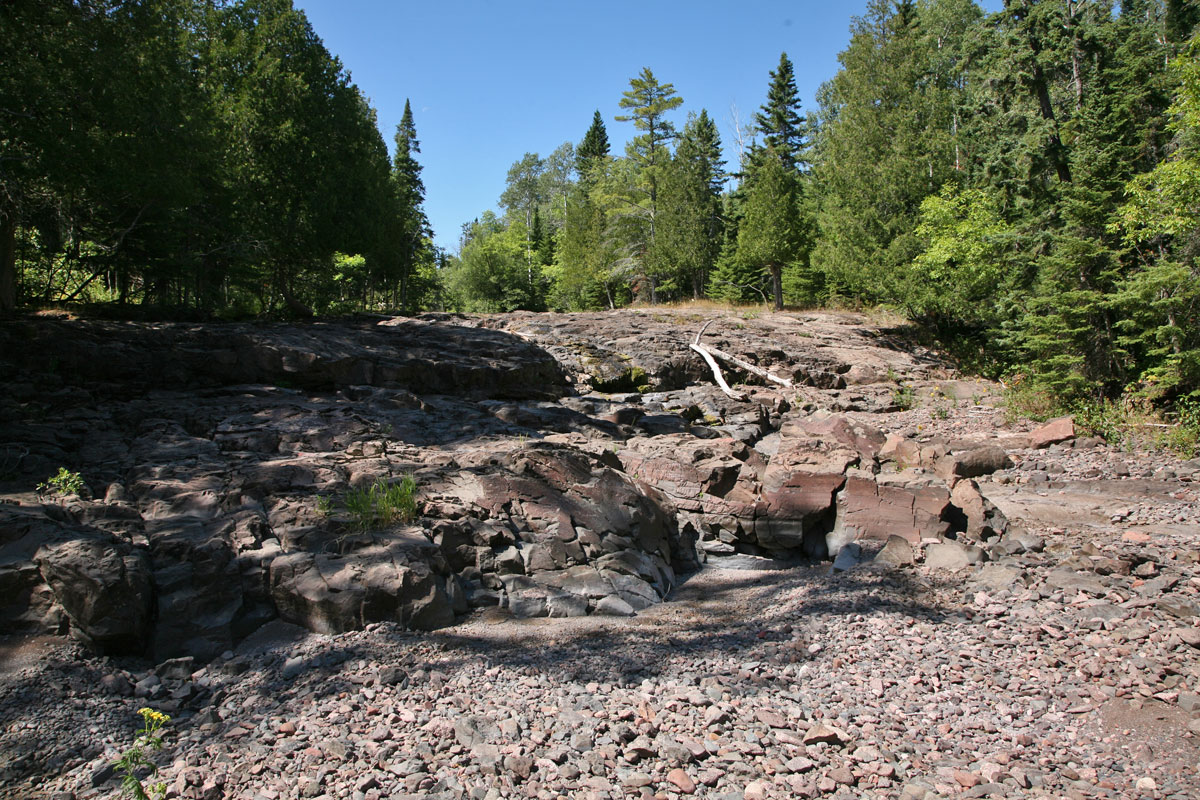
| The huge shelf bank of the second falls, which is usually very beautiful when water is flowing like a dangerous banshee. |
Note the big de-barked cedar trees that have been deposited when Silver Creek runs like a madman river in the spring! |
|
|
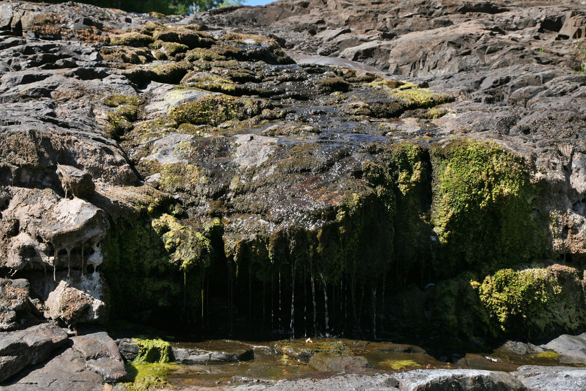
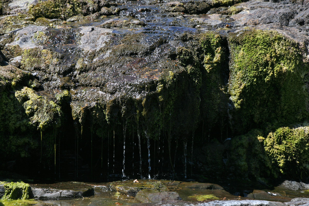
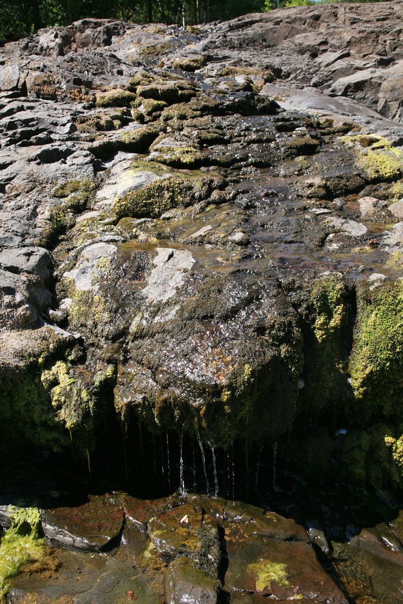
I found a waterfall!
These days of drought, I'll take what I can get!
At least there was some algae and some super-green moss to color the image gallery just a bit...
|
It was more like a drip, or actually an "ooze" of water running. This is at the river split where the DNR "Angler Easement Travel Corridor" signs start. I can't imagine this creek can maintain any brook trout populations. |
|
|
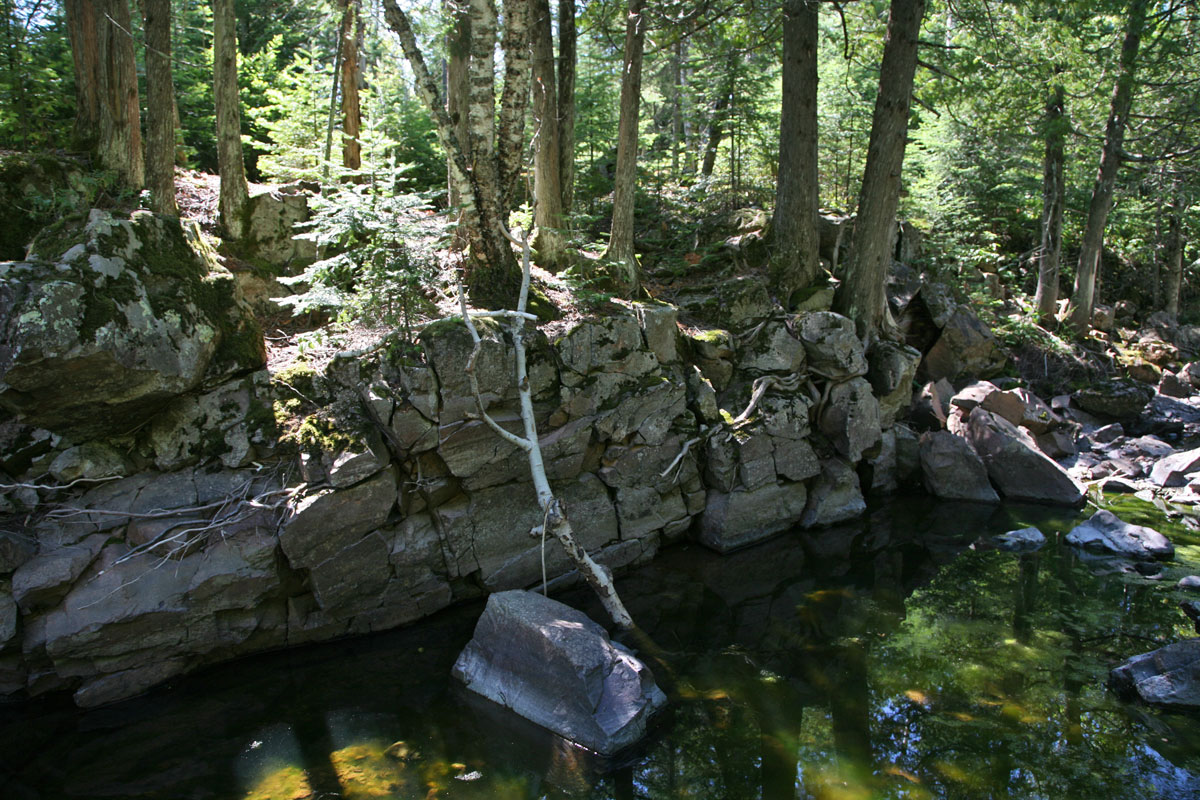
| This is about 1.2 miles up from Lake Superior now. There were some pools in the shade that held some old water. Deer tracks were everywhere around these, since this must be their only local water sources. |
|
|
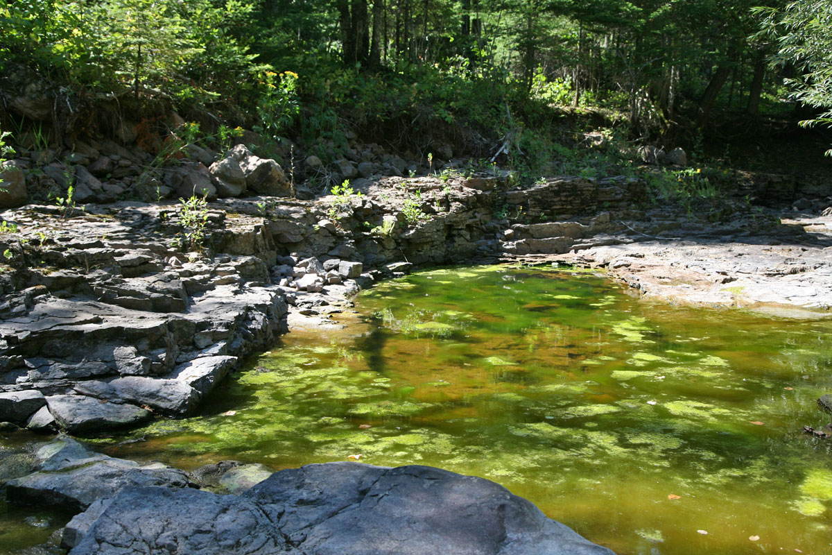
| About 1.5 miles up from Lake Superior, and the creek has no elevation change to speak of here. Little pockets of stagnant water. |
Look at the thick algea growing in this rare water pool. This creek hasn't been flushed out for over a month at the least. |
|
|
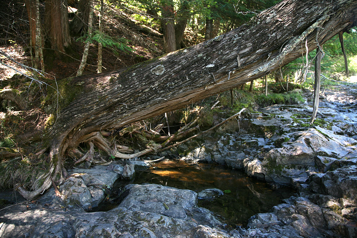
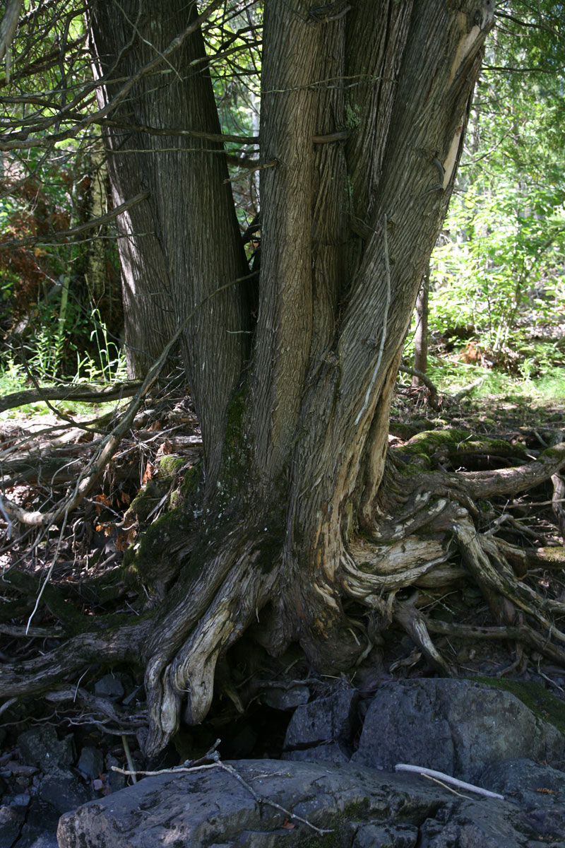
| A little assist from nature and gravity to keep this tree supported! I wonder how long this tree would live if it lost its support? |
Some big cedars are growing well in the shaded corner bends of the upper creek. This is about 2 miles north of Lake Superior. |
|
|
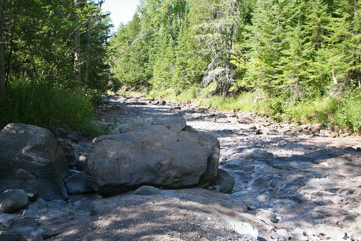
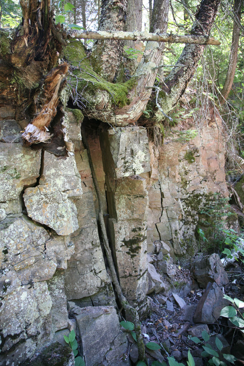
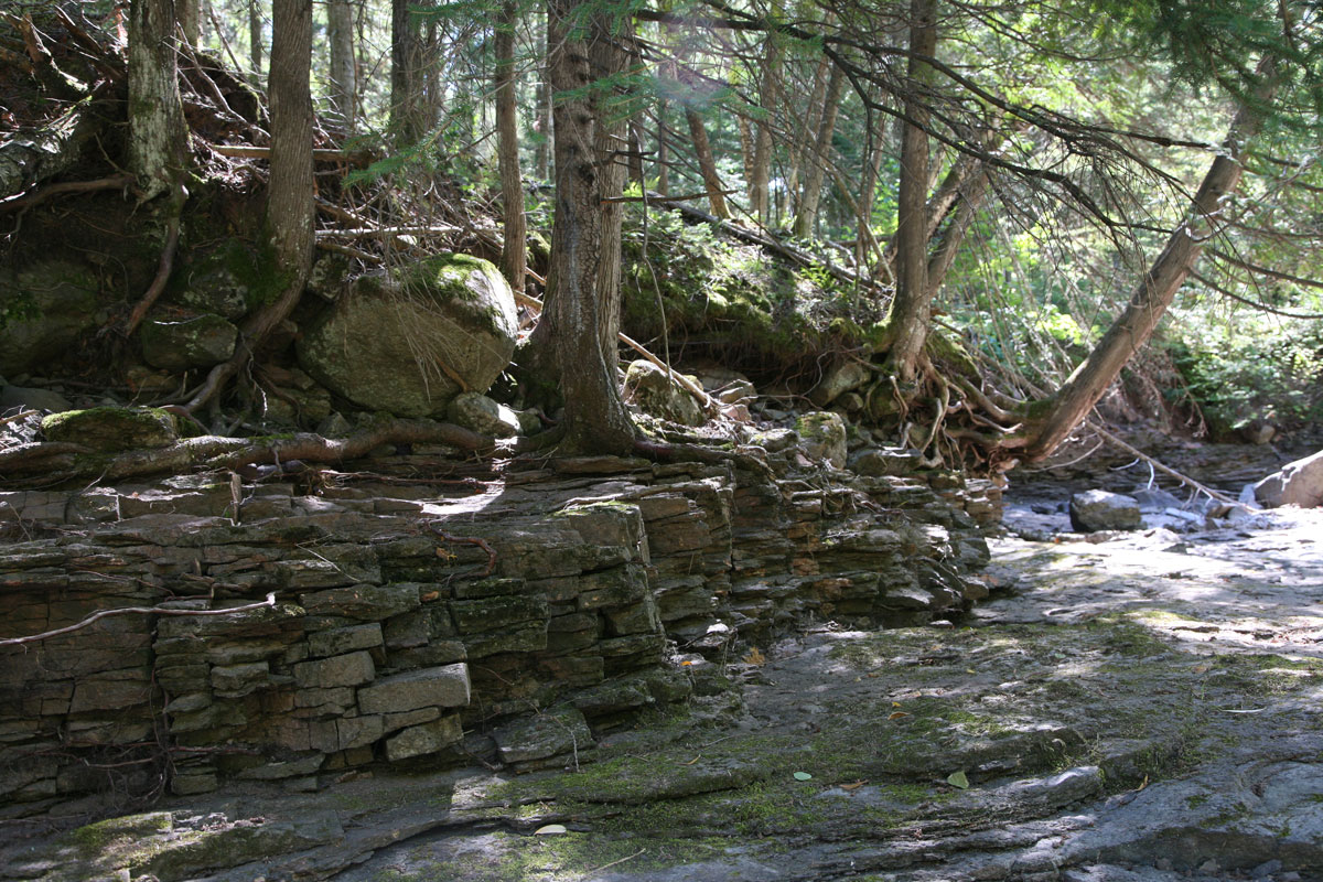
| Nature's masons dilligently at work on a creek corner to make us smile. |
|